The latest Google Maps update includes a number of new features. It notably includes a new augmented reality feature called Live View. This pedestrian navigation system should make it easier for users to find their way around dense urban environments. Let's take a look at how Live View works..
Visually determine your position in Google Maps
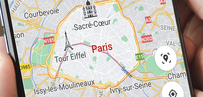
Maybe you took advantage of your weekend to update Google Maps on your phone? It must be said that over the years, the cartography application of the American giant has become a must on smartphone.
3D view, incognito mode, possibility of transferring a route to your computer, Google Maps has a strong argument against the competition. Be careful, however, the mapping solution struggles to locate users accurately in very dense urban areas..
In fact, buildings act like mirrors on radio waves. As a result, smartphones receive different GPS signals. The blue dot on the map therefore does not always represent the real position of users.
Aware of the limits of GPS in large cities, Google has just added the Live View function to Maps. This augmented reality-based system uses the smartphone's camera to help users locate themselves..
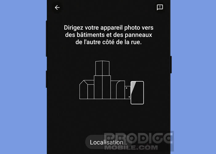
To use it, you just have to activate the Live View function and then point the camera of your smartphone towards a building or a sign in the street near you. Google Maps will then compare the image you just took with the Street View data to identify your exact location.
Follow a route with the Live View function
The new Live View feature has been available in France for a few months. Small important detail, it only works in areas covered by the Street View service. However, this should not be a big problem.
At the time of this writing, Google announces that it has mapped nearly 16 million kilometers of roads. Europe (excluding Germany) along with North America are among the areas with the most comprehensive Street View coverage.
- Update Google Maps on your smartphone
- Launch the mapping application
- Type your destination address in the search bar or click a location on the map
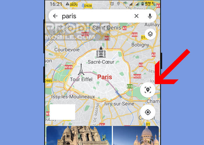
- Then press the Live View icon placed to the right of the map just above the centering button of your position
- Allow Google Maps to access the camera function of your smartphone
- Scan your surroundings by moving your phone from left to right
Once the application has detected your position, the direction indicators (arrows, road sign, street names) and a mini map will automatically appear on the screen of your device. You will then only have to follow the instructions given to reach your destination.
Please note that the augmented reality function pauses when you walk. This security device was put in place by Google to avoid sticking your nose to the smartphone without looking around. Moreover, Google advises to use Live View only at the beginning of your journey or when approaching an intersection.